A bottom-up control on fresh-bedrock topography under landscapes
Daniella has been pursuing Zb, the depth to unweathered bedrock, which has been called (by her former advisor, Bill Dietrich) the second most important landscape surface. The depth to unweathered bedrock influences subsurface runoff paths, erosional processes, moisture availability to biota, andwater flux to the atmosphere. Daniella formulated a simple model that predicts the vertical depth weathered rock underlying soil-mantled hillslopes. After uplift and erosion bring fresh bedrock near the Earth’s surface, channel incision (e.g. by Elder Creek at Rivendell) causes water that once saturated spaces in the fresh bedrock to drain to the channel. Drainage of the fresh bedrock allows weathering through drying, setting the upper elevational boundary of undrained fresh bedrock, Zb. The slow drainage of fresh bedrock exerts a “bottom up” control on the advance of the weathering front. The thickness of the weathered zone is calculated as the difference between the predicted topographic surface profile (driven by erosion) and the predicted groundwater profile (driven by drainage of fresh bedrock). Together, these factors control how long rock moisture stored beneath hills can sustain runoff to rivers during drought.
Hydrology of seasonally dry ecosystems
David’s research at Angelo focuses on the hydrology of seasonally dry ecosystems. Seasonally dry ecosystems occur in climatic regions that exhibit distinct periods of high water availability followed by extended intervals during which rainfall is negligible and surface water becomes increasingly scarce. Angelo Coast Range Reserve would be considered seasonally dry due to its Mediterranean seasonality, with cool, wet winters and warm, dry summers. However, seasonally dry ecosystems do not only occur in Mediterranean regions, such as coastal California; they are also found throughout the world’s Savanna and Monsoonal climatic regions. All together, seasonally dry ecosystems constitute over 30% of the planet by area and contain over 30% of the world’s population. David’s main focus in these ecosystems is the seasonal streamflow recession – the long, sustained release of groundwater in the form of streamflow over the course of the dry season. He uses a combination of data analytic and mathematical techniques to model streamflow in seasonally dry ecosystems and to infer watershed properties from the character of seasonal recessions. Ultimately, David hopes to use risk-based mathematical frameworks to measure and predict the impact of growing human populations and a changing wet season climate on the important water resources and unique in-stream ecology found in seasonally dry ecosystems. David is former postdoc with the Eel River Critical Zone Observatory at UC Berkeley, as well as a former Assistant Professor at Sacramento State University. He currently works as a Research Hydrologist for the USDA Forest Service.
Linkages of geology, topography, and trees
Jesse aspires to better understand process linkages between geology, topography, and life. One striking observation from the Eel River watershed is that the regional forest distribution appears to be controlled to first order by lithologic variation across accreted terranes. For example, coniferous forests are rare in the central mélange belt, but the mechanisms inhibiting conifer forests in the mélange are poorly understood. Jesse also seeks to understand how tectonic forcing, biota, and geomorphic processes produce unique landscape form across the different rock types in the area. For example, hillslopes are steep and convex or planar in the greywackes and argillites of the Eel River Critical Zone Observatory. On neighboring mélange, in contrast, landscapes are gently undulating. Processes responsible for hillslope sediment transport (and ultimately landscape form) are not well understood for either rock type. One way to explore a process inferred from field observation is to cast it in the form of a geomorphic transport law, which can be coupled with continuity (conservation of mass) in a model landscape. Resulting simulations can be compared with high resolution (LiDAR) topography from real landscapes to calibrate and test the validity of the proposed transport law. Jesse Hahm is a former PhD student advised by Bill Dietrich in the Earth and Planetary Science Department, University of California, Berkeley. He is now an Assistant Professor in the Dept. of Geography at Simon Fraser University.
Tracing raindrops through trees and bedrock to streams using stable isotopes
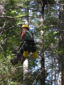
Jasper Oshun studies flow paths of precipitation through a forested hillslope to better understand runoff generation and storm flow, the storage of plant- available water in fractured bedrock beneath the soil surface, and the slow release of rock moisture from a hillslope to the stream. Using measurements of the isotopic composition of water, Jasper can trace a raindrop through the hillslope and identify the depth in the rock beneath from which trees derive their water. Thus far, he has shown that the isotopic composition of water within a hillslope varies as a function of how tightly it is held within the pores of soil and weathered rock. This variability persists throughout the year and is an identifiable ‘blueprint’ from which the above vegetation draws its water. Surprisingly, different species of trees have different water use strategies, which results in adjacent trees partitioning water from the soil, and weathered rock. Species-specific water use by trees on the hillslope may thus affect the amount of water stored in rock, and the slow release of water to our streams. These findings can inform forest management strategies that seek to maximize water yield from our forests. Jasper Oshun is a former Ph.D. student with Bill Dietrich in the Department of Earth and Planetary Science at UCB. He is now an Assistant Professor at Humboldt State University.
Autonomous water sampling for long-term monitoring of trace metals in remote environments
Hyojin Kim
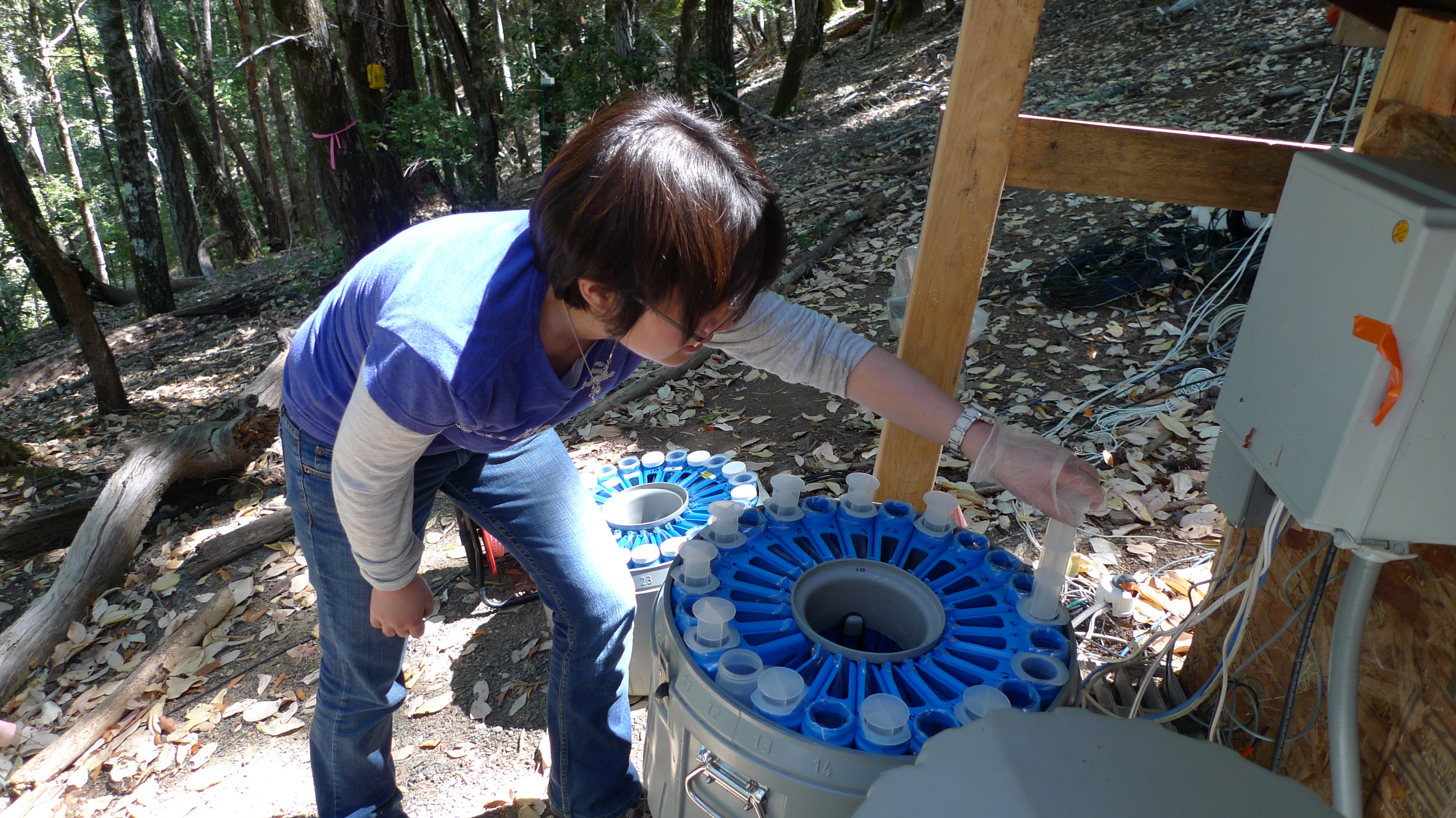
Hyojin and her colleagues studied the chemical evolution of water as it passed through the critical zone and out into springs or as runoff to Elder Creek. She needed a remotely controlled autonomous method for long-term high-frequency sampling of environmental waters in Rivendell, and designed an apparatus that could sample dissolved trace metals and major ions for month-long periods. Her gravitational filtration system separated dissolved and particulate phases as samples were collected.
Thus vastly improved her recovery of trace metals (Fe and Mn) and the dissolved major
cation Ca. in some groundwater samples decreased up to 42% without GFS due to CaCO3 precipitation. Hyojin finished her Ph.D. with Jim Bishop in Earth and Planetary Science in 2013.
Origin and spatial extent of wetted channels during summer low flow in the Eel River system
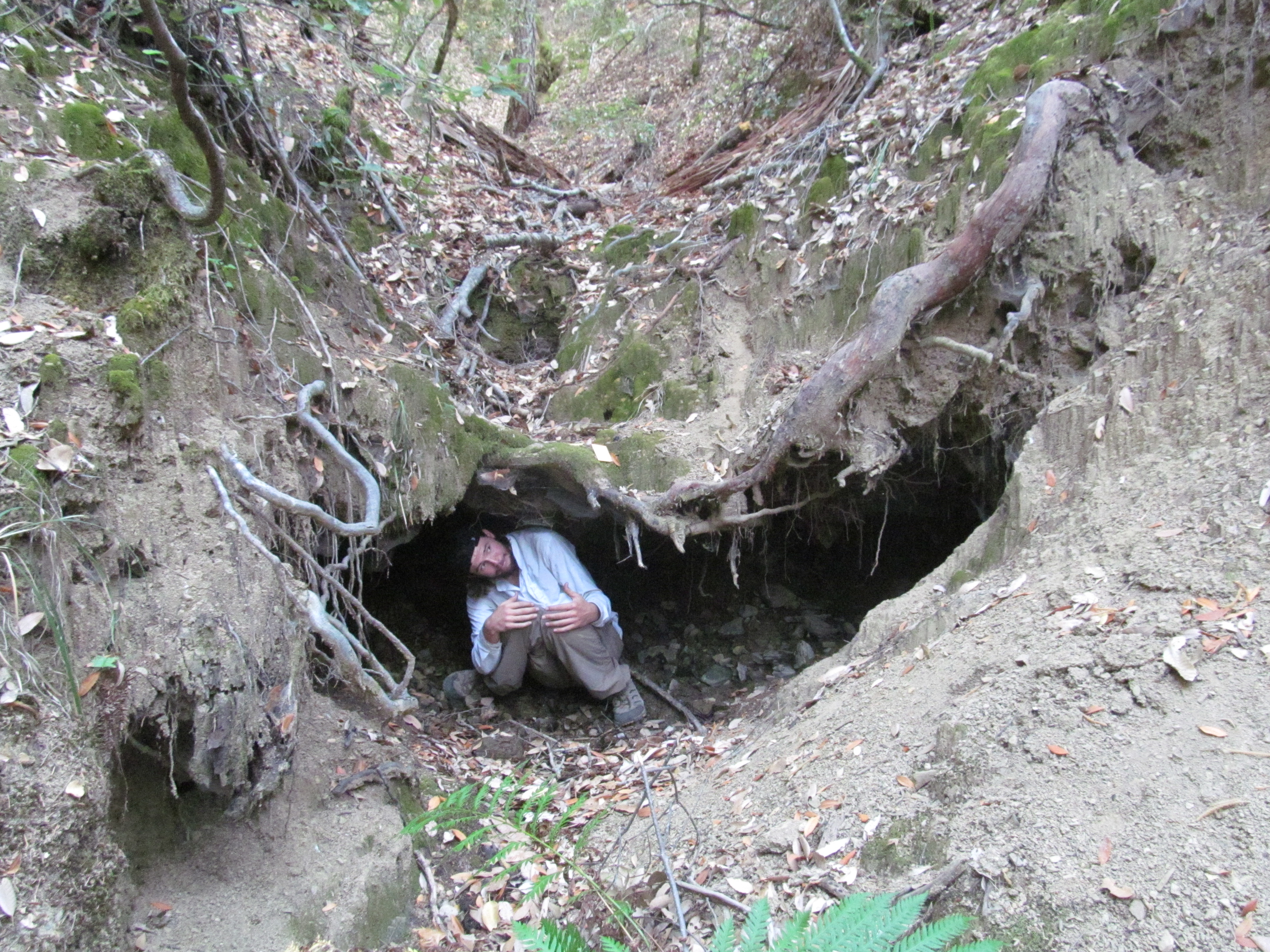
In seasonally dry environments, wetted channel networks sustain river ecosystems and provide critical surface water for biota during dry summer months. Before entering these channels, however, water must find its way through subsurface pathways–critical links between the hillslope critical zone and the channel.
Sky has surveyed the entire watersheds of Fox (2.7 km2) and and Elder (17.0km2) Creeks in early and late summer of 2012 and 2014. He walked all of both watersheds’ channels, mapping the spatially wetted extent of the drainage network at each occasion. Additionally, Sky traced flow within each sub-drainage area to its’ source in order to obtain water isotope, temperature and flow data.
He has determined that these sources of flow are extremely stable, with less than 5% retraction downslope over the summer months. This suggests that preferential flowpaths and fractures dominate the subsurface hydrology, creating year-round sources of water that fuel biotic life. Sky also has found that these two adjacent watersheds have strikingly similar drainage densities (channel lengths per basin area). This finding advances the theory that watersheds with nearly identical precipitation rates, and lithology should have very similar proportions of wetted flow at any given time of the year. Sky’s data point toward slope aspect (e.g., north- or south facing) as the most influential control on wetted channel flow. He hypothesizes that different tree types cause peak transpiration rates on the north and south facing slopes to be out of phase. This in turn forces the hardwoods on the south facing slopes to extract subsurface water sources with greater force in late summer months than Douglas firs on the north facing slope. This contrasting tree phenology likely plays a large role in north-south differences in flow rates over the summer months.
Transformation and bioaccumulation of mercury in tributary-mainstem networks of the Eel River
Martin Tsui
Atmospheric deposition dominates mercury in this semi-remote ecosystem. Martin is interested in using Angelo Reserve as a model to examine factors  such as canopy cover and stream productivity affect mercury cycling. Over the last 6-7 years, Martin and his colleagues have found substantial transformation of mercury in the stream network especially the downstream sections, including methylation of mercury and photo-breakdown of methylmercury, due to the high abundance of microbial communities to methylate mercury and sunlight availability to break down methylmercury, respectively. Lately, Martin has measured stable isotope compositions of mercury in food webs throughout the stream network and demonstrated that some fish (steelhead trout) and stream invertebrates (water strider) had mercury burden partially or solely from terrestrial sources in some headwater streams, implying that stable mercury isotopes can also be used as a powerful tracer for energy sources besides commonly used carbon and hydrogen stable isotopes. Right now, Martin and his group are examining the stable mercury isotope compositions in different forests across the United States and one of them is within Angelo Coast Range Reserve, and the goal is to elucidate the sources of methylmercury in forest food webs by using this novel isotope tool, and research is on-going at the moment. Martin Tsui is an Associate Professor at the University of North Carolina at Greensboro.