Institute for the Study of Ecological Effects of Climate Impacts (ISEECI)
Thanks to a UC Multicampus President’s Research Catalyst Award from UC President President Janet Napolitano, a new (2015) multicampus research collaboration on climate change is being initiated through the UC Natural Reserves System. Led by Profs. Barry Sinervo and Laurel Fox from UC Santa Cruz, ISEECI “leverages the UC Natural Reserve System as a biologically and geographically diverse laboratory to study the effects of climate change on California ecosystems”. Researchers at the 39 Reserves (which span 10 degrees of latitude and elevations from sea level to 14,000′), will pursue
“next generation” sampling protocols to capture ecological, genetic and physiological responses of biota and ecosystems to climate impacts. Read more at http://nrs.ucop.edu/research/iseeci/index.htm
Eel River Critical Zone Observatory (ERCZO)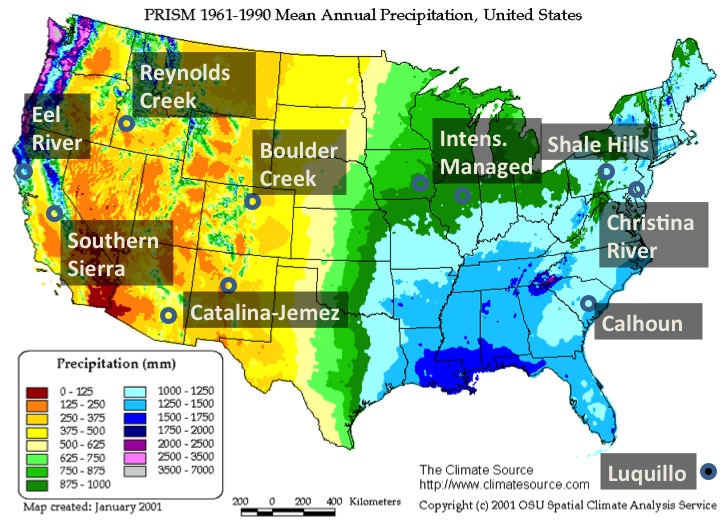
In late fall 2013, nine Berkeley faculty joined the NSF Critical Zone Observatory network as one of nine sites distributed across the US (http://criticalzone.org/national). Active partnerships are growing with the expansion of the CZO network in China (5 sites), Australia (2 sites), and Europe, where it builds from the legacy of the SoiltrEC network (Soil Transformation in European Catchments).
The “Critical Zone” can be thought of as extending from the top of the canopy vegetation down to the lower boundary of the water table. The bottom of the water table is sometimes hard to define, so geologists might set the lower CZ boundary where fresh bedrock begins. In any case, this very thin layer is the critical site of key processes and interactions that regulate environmental regimes and determine the availability and quality of water and other life-sustaining resources. To steal a description from Steve Banwart of SoiltrEC, it is “the thin veneer that stands between us, and annihilation” (!).
Keck Hydrowatch
The Keck Hydrowatch Project (Inez Fung, PI) investigates the life cycle of water as it moves from precipitation and fog down through the forest into deep fractured bedrock, then is lifted by roots to moisten shallow soils or be transpired back to the atmosphere by trees. Keck funding made it possible to intensively instrument the Rivendell watershed, and to drill deep wells from the river to the ridge so that responses of groundwater levels and rock moisture chemistry could be tracked through the dry and rainy seasons. Keck scientists (now continuing their research with support from the Eel River CZO) have studied how these fluxes depend on storage of moisture in fractured bedrock and its vertical redistribution by large, deep-rooted trees. These interactions in turn affect the exchange of moisture between the vegetation canopy and the atmosphere, where its fate depends on topography and air circulation patterns. Keck scientists have revealed how these local exchanges affect the temperatures of our forest habitats (Link et al. 2014).
Center for Airborne Laser Mapping (NSF NCALM)
National Center for Earth Surface Dynamics (NSF NCED)
The infrastructure and research from 1989-2002 proved foundational for four large national research initiatives that were launched at Angelo. In 2002, Angelo was chosen to be the first collaborative field site for Earth scientists, environmental engineers, and ecologists in the National Center for Earth Surface Dynamics (NCED), an NSF Science and Technology Center (Efi Foufoula-Georgiou, U. Minn, Director). NCED scientists and engineers (three from Berkeley) collaborated for ten years to study biota, ecosystems and landscape processes change down the river network. In 2006, Angelo was selected site for the Keck Hydrowatch, a Berkeley program funded by the Keck Foundation (Inez Fung, Director). Angelo has also been a test bed and launching platform for the NSF National Center for Airborne Laser Mapping (NCALM, Bill Dietrich, PI), as a site where this advanced mapping technology faces the extreme challenge of rugged topography and tall, dense forest. In October 2013, nine Berkeley scientists, including 4 National Academy members, were awarded $5M over 5 years to study interactions of moisture stored in soils and deep bedrock, trees, upland-river-ocean food web linkages, with an eye to forecasting consequences of land cover and climate change (particularly drought).
