Skip to content

Angelo Coast Range Reserve

University of California Natural Reserve System

Menu

  • About
    • About Angelo
    • Who Uses Angelo?
    • Natural History
    • Reserve History
    • Geographic Context
    • Maps
  • Visiting
    • Facilities & Reservations
    • Public Access
    • Driving Directions
    • Health and Safety
    • Maps of the Angelo Reserve
  • Research
    • Publications
    • Eyes on the Eel
    • Ecophysiology Research
    • Eel River Ecology – Algae
    • Eel River Ecology – Wildlife
    • Hydrology & Geomorphology
    • Past Projects
  • Data
    • Meteorological Data
    • Monitoring
    • Species Lists
    • iNaturalist species lists
    • GIS
    • LiDAR
  • Partners
    • North Coast Partners
    • Scientific Research Networks
    • Field station users and supporters
  • News
    • In the News
    • Documentaries
    • Events
    • Naturalist Notes
    • Field Observations
    • Infrastructure
  • Eel River CZO
    • Eel River Critical Zone Observatory Publication List
    • Eel River Critical Zone Observatory Talks and Posters
    • ERCZO-in-a-cartoon
  • Contact

LiDAR

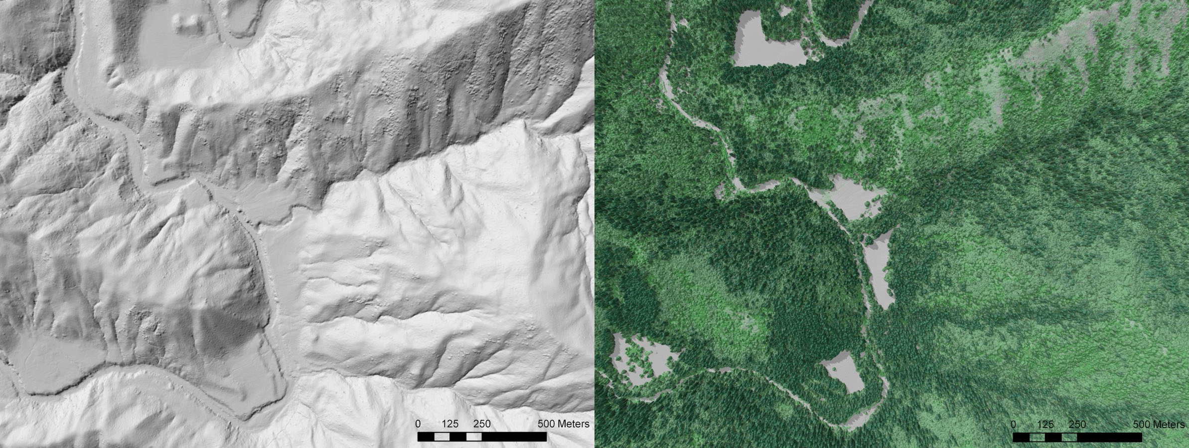
LiDAR has been flown multiple times over the Reserve area by the National Center for Airborne Laser Mapping (NCALM) and is housed at Open Topography.org.

  • 2004 South Fork Eel River, CA Watershed Morphology
  • 2009 South Fork Eel River, CA: Understanding Terrace Formation and Abandonment
  • 2014 Eel River Critical Zone Observatory Lidar Survey
2004 LiDAR. Left processed into Bare-earth DEM. Right processed into Canopy elevation and Tree height. Darker green are taller trees.

Angelo Admin

  • Log in
  • Entries feed
  • Comments feed
  • WordPress.org
Copyright © 2023 Angelo Coast Range Reserve.

All rights reserved.